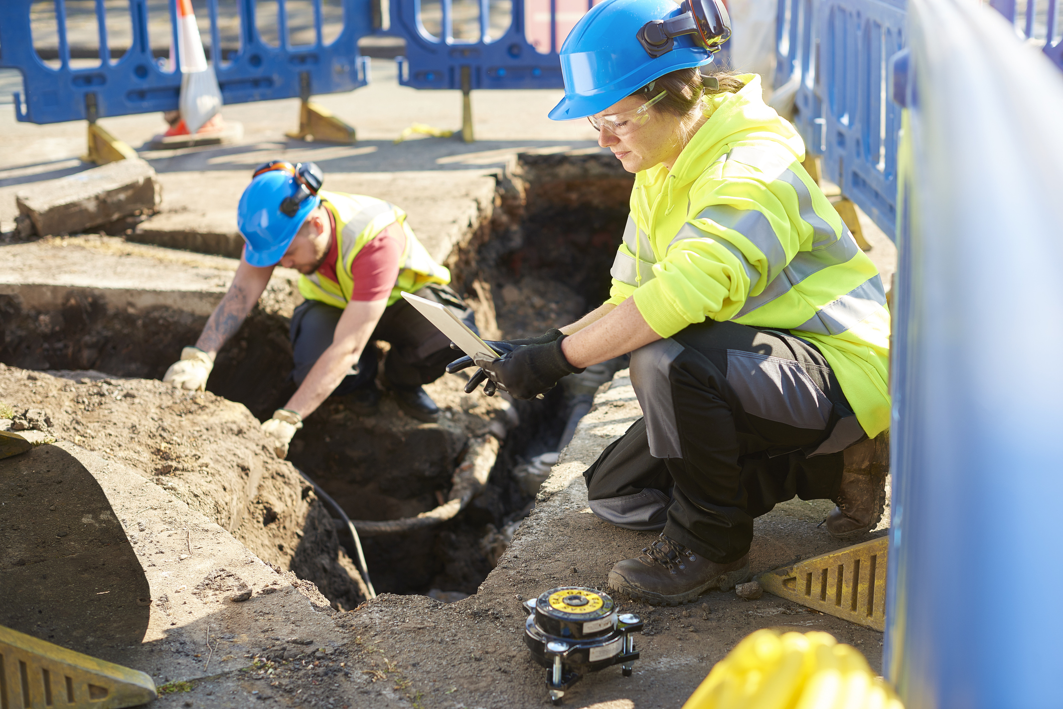
At Creeswell, our Survey Data QA/QC services are designed to uphold the accuracy, consistency, and reliability
of geospatial data across all phases of project development. We implement rigorous quality standards to verify
that survey outputs meet design tolerances,
regulatory requirements, and project specifications.
Our QA/QC protocols are embedded into every stage of the survey lifecycle—from field data collection to final
deliverables—ensuring
reliable, defensible, and audit-ready results.
Capabilities Include:
- Coordinate & Datum Validation: Cross-checking horizontal and vertical control against
project-specific datums (e.g., NAD83, NAVD88, State
Plane Coordinates) to ensure geodetic accuracy.
- CAD & GIS Deliverable Review:Inspection of layers, symbology, metadata, and linework accuracy in
DWG, DGN, SHP, and other
digital formats.
- Attribute & Feature Code Auditing: Validation of attribute tables, feature codes, and data
dictionaries to confirm compliance with project-specific
standards and client requirements.
- Field-to-Finish Data Verification: Comparison of field measurements with design control benchmarks
and reference data; identification of discrepancies
and corrective measures.
- Independent QA/QC Audits: Third-party reviews of internal and subcontracted survey data to verify
consistency, completeness, and conformance
with contract specifications.
- Documentation & Reporting: Generation of QA/QC checklists, deviation logs, and summary reports for
transparency, traceability,
and stakeholder review.